Hiking & Ordnance Survey Maps of Ireland
84 products
Showing 1 - 24 of 84 products
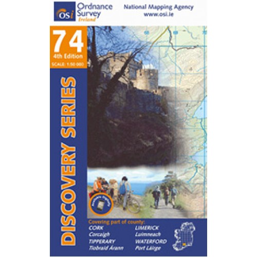
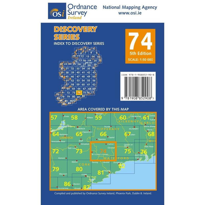
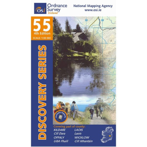
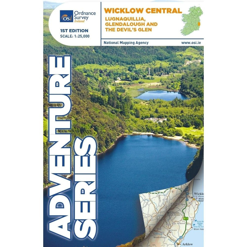
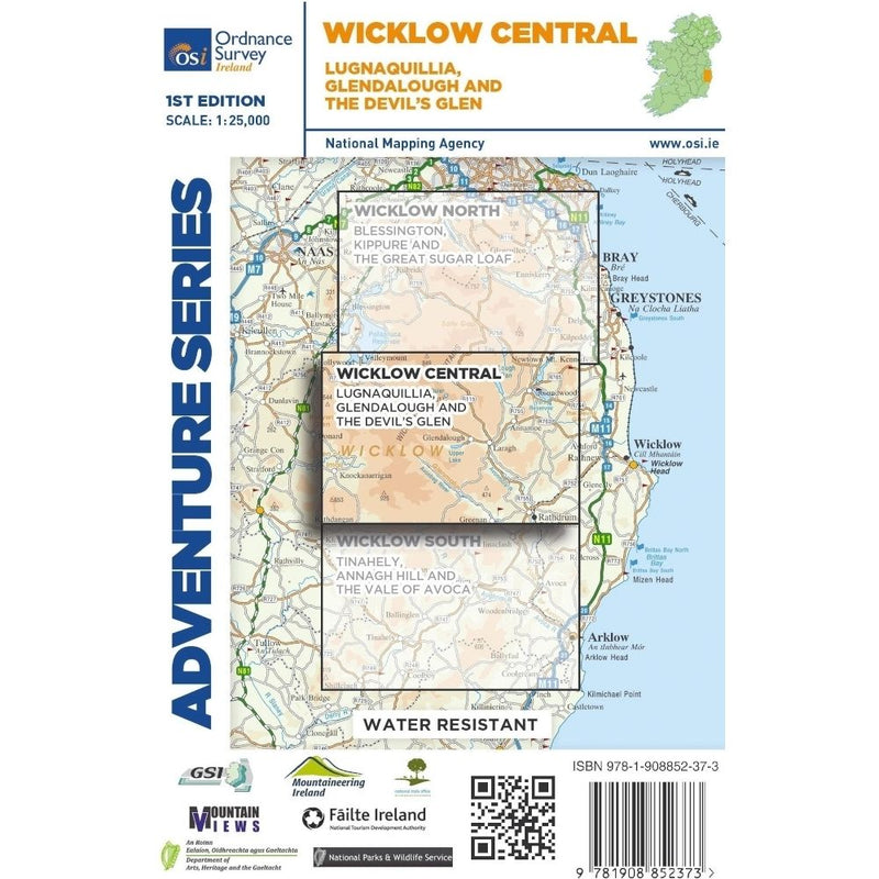
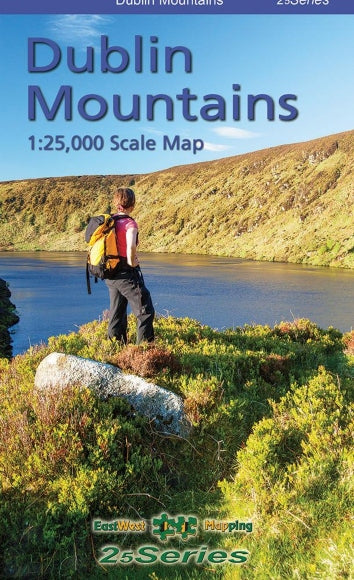
Explore Ireland’s trails with confidence. Our hiking and Ordnance Survey maps from OSI, EastWest Mapping and Harvey provide the detail and accuracy you need for every adventure. Trusted by hikers and scouts across Ireland, only at Outdoor Adventure Store.
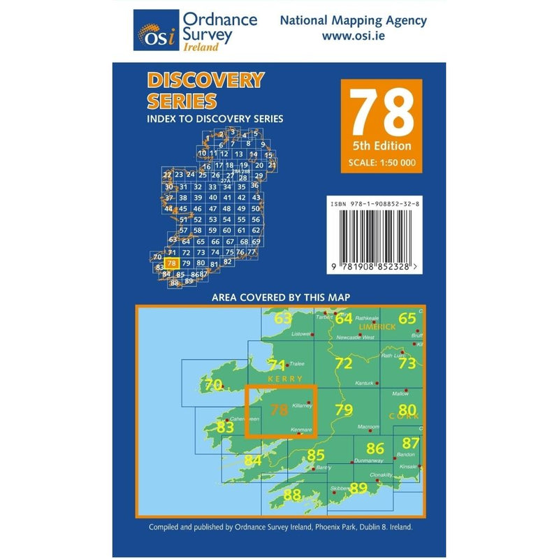
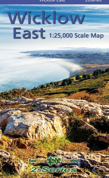
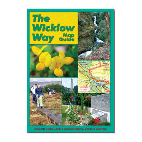
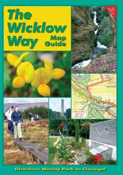
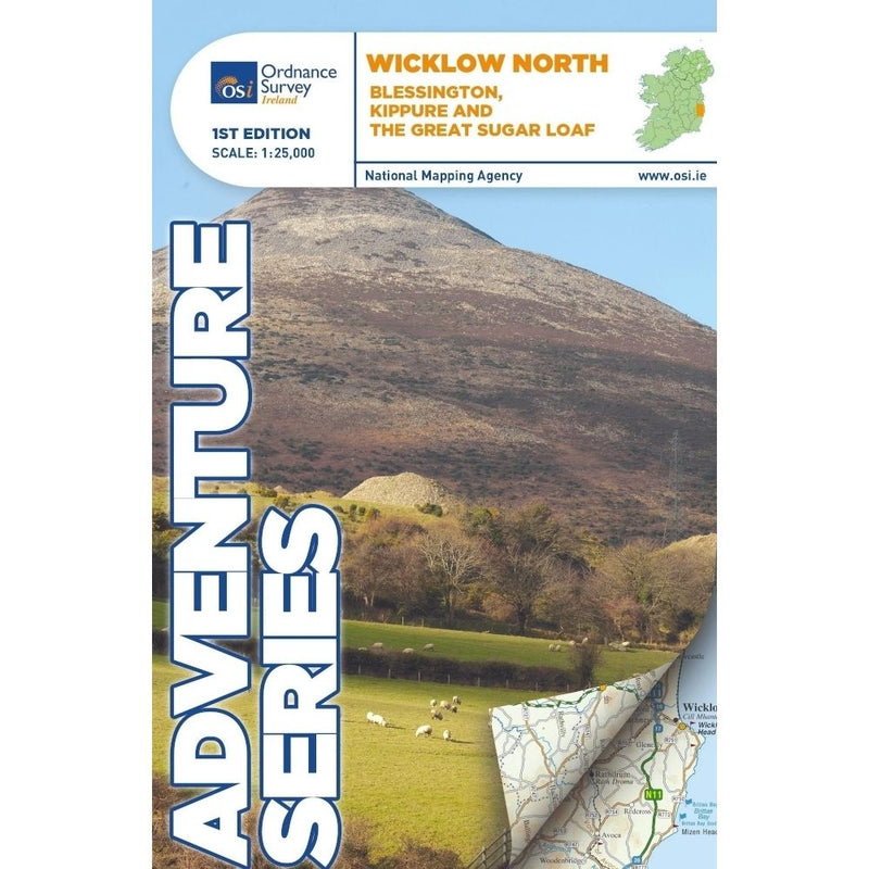
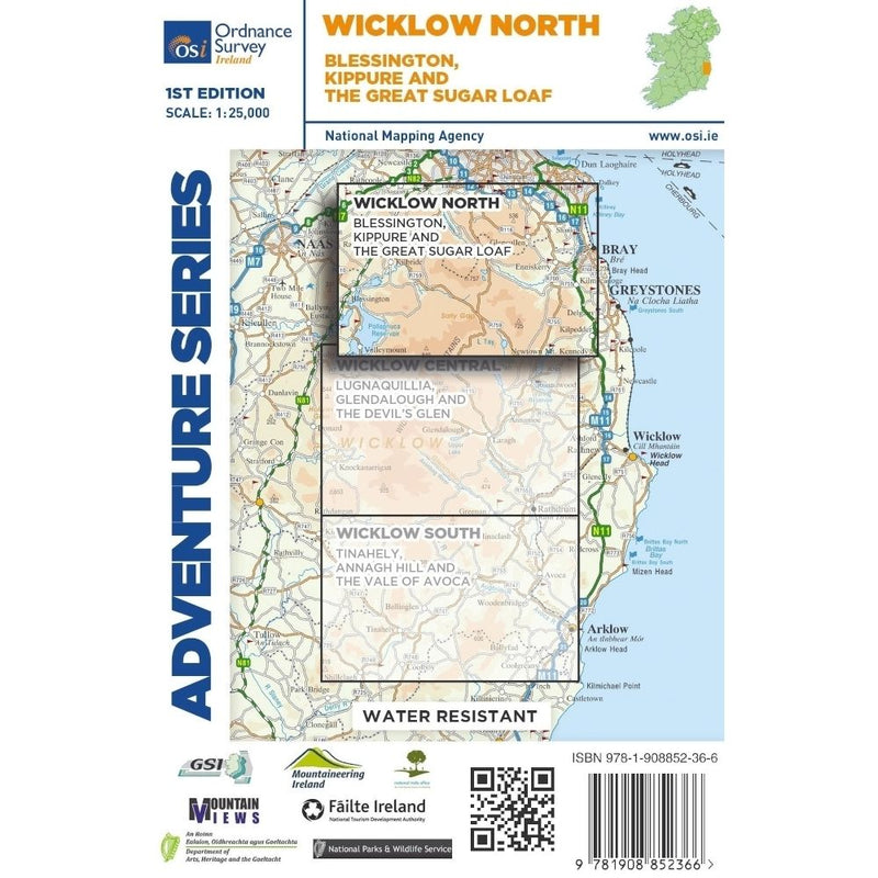
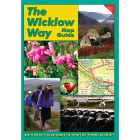
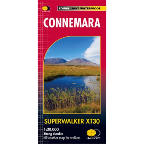
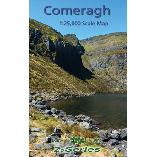
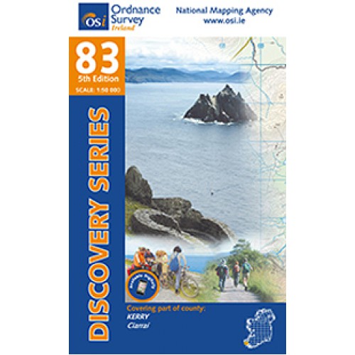
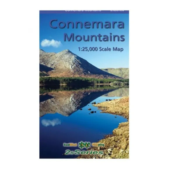
Reliable navigation starts with the right Ordnance Survey maps. Our Hiking & Ordnance Survey Maps range covers Ireland’s best-loved routes, from the Wicklow Way to the Mourne Mountains and the Kerry Way. We stock Ordnance Survey maps Ireland walkers trust, alongside detailed sheets from EastWest Mapping and Harvey. Choose the right hiking maps Ireland for your trip with clear scales, durable finishes and accurate contour detail.
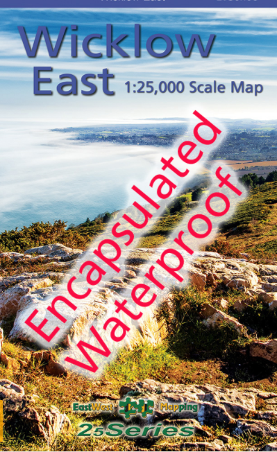
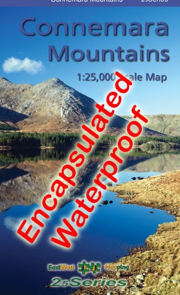
Pick 1:25,000 maps for precise route-finding on Irish summits and intricate paths, or 1:50,000 maps for broader planning and multi-day coverage. Many titles come in waterproof or laminated formats, ideal for Ireland’s unpredictable weather. Whether you prefer classic OSI sheets, EastWest’s trail-specific mapping, or Harvey’s rugged, lightweight maps, you can buy Ordnance Survey maps here with confidence.
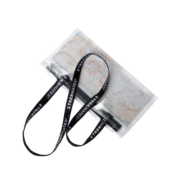
Paper walking maps Ireland remain essential when batteries die or signal drops. Pair your map with a quality compass and a waterproof map case for a safe, stress-free day out. At Outdoor Adventure Store, we handpick the best value OS maps Ireland and hiking maps for every county, so you can plan, navigate and enjoy more time on the trail. Explore the full selection today and get ready for your next adventure across Ireland.
Upgrade your navigation setup with trusted hiking essentials designed for Irish terrain. Explore our related categories:
- Compasses – Reliable and accurate tools for map navigation on every hike.
- Hiking Poles – Add stability and comfort on steep or uneven ground.
- Hiking Backpacks – Carry your maps, layers, and gear with durable, weather-ready packs.
Each of these complements your Ordnance Survey maps perfectly, helping you stay safe, organised and ready for the trail ahead.
Hiking & Walking Ordnance Survey Maps FAQs
Where can I buy Ordnance Survey maps Ireland?
You can buy Ordnance Survey maps for Ireland right here. We stock OSI sheets along with EastWest Mapping and Harvey maps covering popular Irish hiking areas.
What scale is best for walking & hiking maps in Ireland?
Use 1:25,000 maps for detailed navigation on complex terrain and 1:50,000 maps for planning routes or covering larger areas on multi-day hikes.
Are Ordnance Survey maps waterproof?
Many titles are available as waterproof or laminated editions. These are ideal for Ireland’s wet and windy weather and last longer in regular use. If not, we also sell waterproof cases for any other maps you might have.
What is the difference between OSI, EastWest Mapping and Harvey?
OSI provides national Ordnance Survey coverage of Ireland, EastWest Mapping offers highly detailed, trail-focused sheets for Irish regions, and Harvey produces durable, lightweight maps popular with hillwalkers.
Do I still need paper hiking & walking maps if I use GPS?
Yes. Paper maps work without batteries or signal and provide wider context for safe decision-making. Use them with a compass as a reliable backup. Some courses, trips or even trail running races require a physical map and compass and do not allow the use of GPS devices.
Which walking & hiking maps of Ireland should I choose for Wicklow or Kerry?
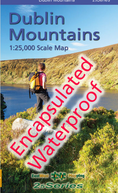
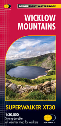
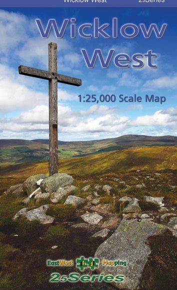
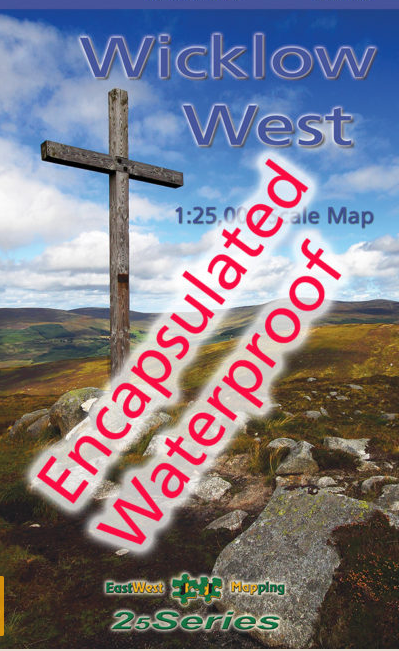
For Wicklow, look for OSI or EastWest Mapping sheets of the Wicklow Mountains and Wicklow Way. For Kerry, choose OSI or Harvey maps covering the MacGillycuddy’s Reeks and the Kerry Way.
